
The 6:47 a.m. bus pulls up to the stop on Silver Star Road, and Maria climbs aboard with her work bag and a travel mug. She’s one of a small but steady group of Ocoee residents who rely on public transit for their daily commute into Orlando. The ride takes about 45 minutes if connections align, longer if they don’t. By the time she transfers downtown, she’s been in motion for over an hour. Her coworker, who drives from the same neighborhood, arrives in half that time. That gap—between what’s possible and what’s practical—defines transportation options in Ocoee for most people. The city has bus service, but it doesn’t eliminate the need for a car. It offers some pedestrian infrastructure, but not enough to make walking a primary mode. And while cycling paths exist in pockets, they don’t form a connected network. Understanding how people actually get around here means recognizing that Ocoee is built around driving, even when alternatives are technically available.
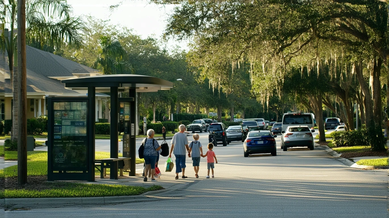
How People Get Around Ocoee
Ocoee operates as a car-first environment with moderate pedestrian infrastructure and limited public transit coverage. The city’s layout reflects decades of suburban development oriented toward vehicle access, and that structure shapes daily mobility for nearly everyone who lives here. Most households own at least one car, and many own two or more. Driving isn’t just the most common way to get around—it’s the baseline assumption embedded in how neighborhoods, shopping centers, and employment hubs are arranged.
That said, Ocoee isn’t entirely car-dependent in the way some exurban communities are. The pedestrian-to-road ratio falls in a medium band, meaning there are sidewalks, crosswalks, and some walkable corridors, particularly near commercial zones along major roads. But these features exist in pockets rather than as a continuous network. You can walk to a grocery store or a bus stop in some neighborhoods, but you can’t necessarily walk between neighborhoods or rely on walking for all your errands. The infrastructure supports supplemental walking—short trips, exercise, access to transit—but not car-free living for most residents.
Newcomers often underestimate how much driving they’ll do, especially if they’re moving from a denser metro area or a city with robust transit. Ocoee’s proximity to Orlando can create the impression that regional transit will fill gaps, but in practice, bus service here functions as a lifeline for specific populations rather than a comprehensive alternative to car ownership. The city’s development pattern, combined with the realities of Central Florida’s sprawl, means that even short errands often require a vehicle.
Public Transit Availability in Ocoee
Public transit in Ocoee centers around bus service, with no rail access within city limits. The system connects residents to Orlando and other parts of the metro area, but coverage within Ocoee itself is limited to major corridors. Bus stops are present, and service is available, but frequency and routing constrain how useful transit is for daily life. For someone commuting to a fixed job site along a served route, the bus can work. For someone managing multiple stops, irregular schedules, or destinations outside the core network, it becomes impractical quickly.
Transit works best for residents living near Silver Star Road, West Colonial Drive, or other primary corridors where stops are more frequent and connections to Orlando are more direct. Even in these areas, however, riders need to plan around limited evening and weekend service. Late shifts, spontaneous errands, and multi-stop trips all become harder without a car. The bus is a tool, not a system—useful in specific contexts, but not a replacement for vehicle ownership for most households.
Where transit falls short is in neighborhood-to-neighborhood connectivity and coverage of residential areas away from main roads. If you live in a subdivision off the primary corridors, reaching a bus stop may require a car, a bike, or a long walk. That reality limits transit’s role to commuters with compatible routes and schedules, rather than serving as a general-purpose mobility option. For families, shift workers, or anyone managing complex logistics, the gaps in coverage and frequency make car ownership nearly essential.
Driving & Car Dependence Reality
Driving in Ocoee is straightforward, and the infrastructure reflects that priority. Roads are wide, parking is abundant, and traffic congestion, while present during peak hours, is generally manageable compared to denser urban cores. The city’s layout assumes car access, and most commercial development includes ample parking. For residents who own a vehicle, getting around is rarely a structural challenge—it’s a question of time and distance, not feasibility.
Car dependence here isn’t a failure of planning; it’s the intended design. Ocoee developed during an era when suburban growth was synonymous with vehicle-oriented infrastructure, and that legacy persists. Grocery stores, schools, medical offices, and workplaces are distributed across a geography that makes sense for drivers but creates friction for anyone relying on walking, biking, or transit. Even in neighborhoods with sidewalks and nearby amenities, the distances involved and the lack of continuous pedestrian networks mean that most errands require a car.
For households with two working adults, two cars is the norm. Single-car households can make it work if jobs, schools, and errands align geographically, but it requires coordination and limits flexibility. Car-free living is possible for a small subset of residents—those in walkable pockets near transit and clustered amenities—but it’s not the default experience. The city’s structure rewards car ownership with convenience, predictability, and access, and penalizes those without it through longer travel times, limited options, and logistical complexity.
Commuting Patterns & Daily Mobility
Commuting in Ocoee reflects the city’s role as a residential community within the broader Orlando metro area. Many residents work outside city limits, and the average commute time is 32 minutes. That figure captures a mix of short local commutes and longer regional trips, often to employment centers in Orlando, Winter Garden, or other nearby cities. The percentage of workers with long commutes—defined as exceeding typical thresholds—is 54.4%, indicating that a majority of Ocoee’s workforce absorbs significant travel time as part of daily life.
Only 7.7% of workers in Ocoee work from home, meaning the vast majority are commuting regularly. For most, that means driving. The commute structure here tends to be single-destination and car-based, with limited flexibility for multi-stop trips unless you’re willing to add significant time. Transit riders face longer door-to-door commutes due to transfer times, wait periods, and the indirect routing inherent in bus networks. Drivers, by contrast, have more control over timing and route, which translates to shorter and more predictable commutes.
Daily mobility beyond commuting follows a similar pattern. Errands, school drop-offs, medical appointments, and social activities are distributed across a car-oriented geography. Food and grocery establishments are clustered along corridors rather than evenly distributed, which means that even routine tasks often require driving to a commercial zone. The city’s layout doesn’t support the kind of spontaneous, walkable errands common in denser environments. Instead, residents tend to batch trips, plan routes, and rely on vehicles to manage the distances involved.
Who Transit Works For — and Who It Doesn’t
Public transit in Ocoee serves a specific population: commuters with fixed schedules, predictable destinations, and proximity to served routes. For someone working a 9-to-5 job in downtown Orlando and living near a bus stop on a primary corridor, transit can be a viable option. It’s slower than driving, and it requires planning, but it’s functional. For everyone else—families managing school schedules, shift workers with irregular hours, residents in neighborhoods away from main roads—the gaps in coverage and frequency make transit impractical.
Renters in apartments along Silver Star Road or West Colonial Drive are more likely to benefit from transit access than homeowners in subdivisions farther from the core. Proximity matters, and so does flexibility. Single adults without dependents can more easily structure their lives around transit schedules; parents managing multiple drop-offs and pickups cannot. The system isn’t designed to replace car ownership—it’s designed to supplement it for those who need an alternative for specific trips.
Transit doesn’t work well for households that need spontaneity, multi-stop logistics, or access to destinations outside the primary network. It also doesn’t work for residents who value time efficiency over cost savings. The time penalty for using transit in Ocoee is significant, and for most households, that tradeoff doesn’t pencil out. Car ownership, despite its costs, delivers control, predictability, and access in ways that transit here simply cannot match.
Transportation Tradeoffs in Ocoee
Choosing between transit and driving in Ocoee isn’t a question of affordability—it’s a question of structure and fit. Transit offers lower direct costs but imposes time penalties, schedule constraints, and coverage gaps. Driving offers speed, flexibility, and comprehensive access but requires vehicle ownership, fuel, insurance, and maintenance. For most households, the tradeoff resolves in favor of driving because the city’s layout makes car ownership the path of least resistance.
Transit riders gain predictability in one sense—fixed routes, known schedules—but lose it in another. A missed bus, a delayed transfer, or an unexpected errand can cascade into significant disruption. Drivers face variability in fuel prices and traffic conditions, but they retain control over timing and routing. That control is worth more than the cost savings for most residents, particularly those managing complex household logistics.
The presence of moderate pedestrian infrastructure and some cycling paths creates a middle ground for short trips and recreational use, but these options don’t eliminate the need for a car. Walking works for nearby errands in corridor-clustered areas; biking works for fitness and short commutes in select neighborhoods. Neither replaces the car as the primary mobility tool. The city’s structure, its density, and its development pattern all point toward vehicle dependence as the dominant reality, with transit and active transportation serving supplemental roles.
FAQs About Transportation in Ocoee (2026)
Is public transit usable for daily commuting in Ocoee?
Public transit is usable for commuters with fixed schedules and destinations along served routes, particularly those traveling into Orlando. However, limited frequency, coverage gaps, and longer travel times compared to driving make it impractical for many residents. It works best as a supplemental option rather than a primary mode.
Do most people in Ocoee rely on a car?
Yes. The city’s layout, employment distribution, and limited transit coverage mean that car ownership is the norm. Most households own at least one vehicle, and many own two or more to accommodate commuting and daily errands.
Which areas of Ocoee are easiest to live in without a car?
Neighborhoods near Silver Star Road or West Colonial Drive, where bus service is more frequent and amenities are clustered, offer the most viable car-free or car-light living. Even in these areas, however, residents typically need to plan carefully around transit schedules and accept longer travel times.
How does commuting in Ocoee compare to nearby cities?
Ocoee’s average commute time of 32 minutes and long-commute percentage of 54.4% reflect its role as a residential suburb within the Orlando metro area. Commutes here are similar to other outer-ring communities, where regional job distribution and car-oriented infrastructure shape travel patterns.
Are there bike lanes or pedestrian paths in Ocoee?
Yes, but coverage is limited. Cycling infrastructure exists in some pockets, and pedestrian paths are present along major corridors and in select neighborhoods. However, these features don’t form a continuous network, and most residents still rely on cars for the majority of trips.
How Transportation Fits Into the Cost of Living in Ocoee
Transportation in Ocoee isn’t just a line item—it’s a structural factor that shapes where you can live, how you manage time, and what tradeoffs you’re willing to accept. Car ownership unlocks access, flexibility, and convenience, but it also introduces fixed costs that persist regardless of how much you drive. Transit offers an alternative for specific use cases, but it doesn’t eliminate the need for a vehicle for most households. The city’s layout, its density, and its development pattern all reinforce car dependence as the baseline reality.
For a fuller picture of how transportation costs interact with housing, utilities, and other expenses, see Your Monthly Budget in Ocoee: Where It Breaks. That article breaks down where money goes each month and how different household types experience cost pressure across categories.
Understanding transportation in Ocoee means recognizing that mobility here is built around driving, even when alternatives exist. The bus is there, the sidewalks are there, and the bike lanes are there—but they don’t add up to a car-free lifestyle for most people. What they offer instead is supplemental access, limited flexibility, and a reminder that in a car-oriented city, the choice to drive isn’t really a choice at all—it’s the structure you’re navigating.
How this article was built: In addition to public economic data, this article incorporates location-based experiential signals derived from anonymized geographic patterns—such as access density, walkability, and land-use mix—to reflect how day-to-day living actually feels in Ocoee, FL.