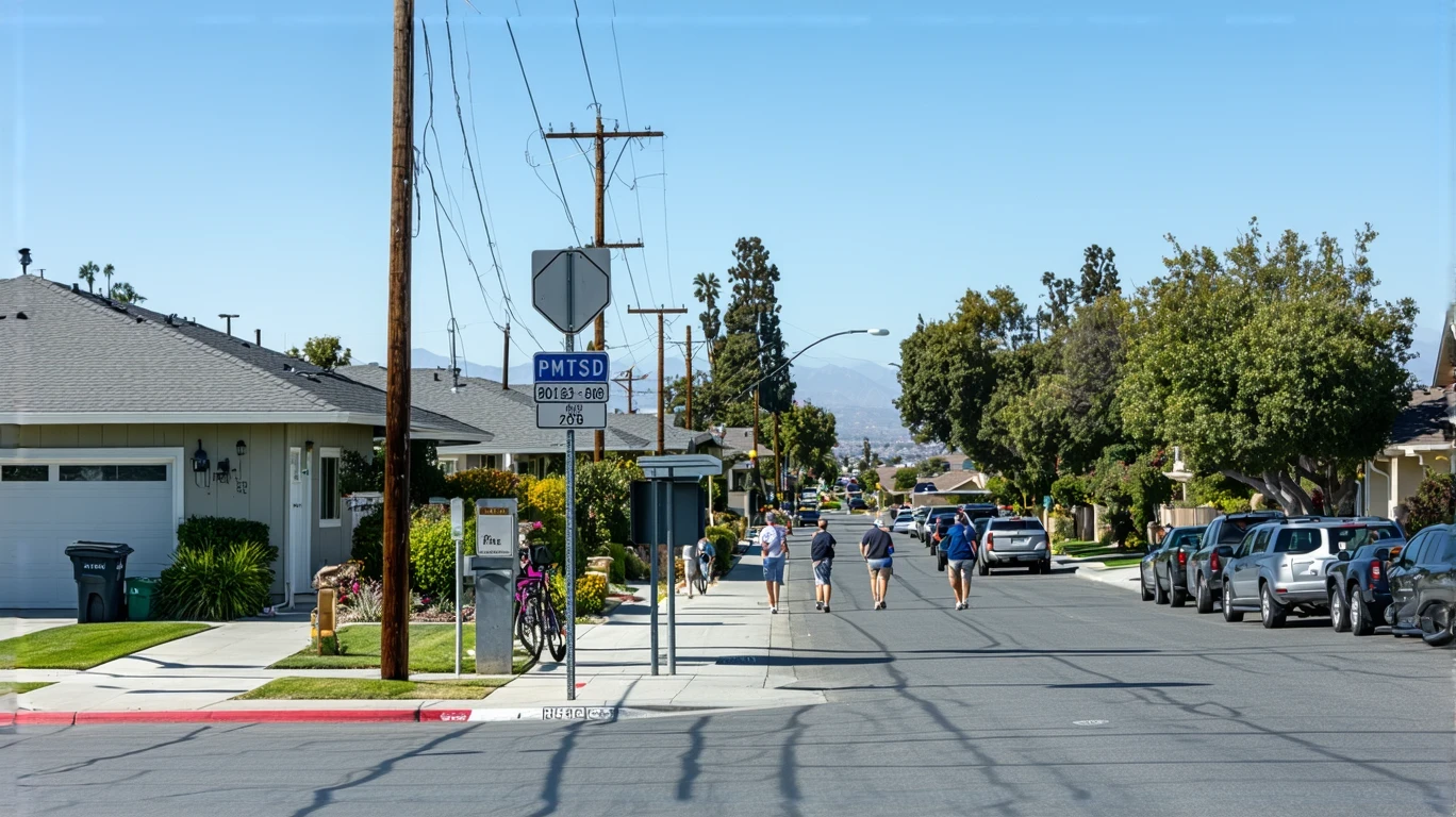
The morning starts with the sound of a trolley pulling into the station—metal wheels on rails, the hydraulic hiss of doors opening. A handful of commuters step on, coffee in hand, heading north toward downtown San Diego or east toward El Cajon. By the time the trolley leaves, the parking lot at the station is half full. Some riders walked here. Others drove and parked. For a small city tucked into the eastern edge of San Diego County, Lemon Grove offers something many suburban communities don’t: rail access that actually connects to the regional network. But that doesn’t mean everyone uses it—or that it works for every trip.
Understanding transportation options in Lemon Grove means recognizing a fundamental split in how people move through daily life here. If your routine aligns with the trolley’s reach—if you work along the Blue Line corridor, live within walking or biking distance of a station, and don’t need to make multi-stop errands on the way home—public transit can be a real, usable option. But if your job is in a business park off the freeway, if you’re managing school pickups and grocery runs, or if you live in one of the quieter residential streets farther from the station, you’re almost certainly driving. Lemon Grove isn’t car-free, and it isn’t car-dependent in the way some sprawling suburbs are. It’s mixed—and that mixture creates different realities depending on where you live and what your day looks like.
What newcomers often misunderstand is that rail presence doesn’t eliminate the need for a car—it just changes the calculus. You’re not choosing between transit and driving as total systems. You’re deciding, trip by trip, what makes sense. And in a low-rise city where errands are broadly accessible but neighborhoods vary in walkability, that decision changes depending on the block you’re on.
Public Transit Availability in Lemon Grove
Public transit in Lemon Grove often centers around the San Diego Trolley’s Orange Line, which runs through the city and connects riders to downtown San Diego, the South Bay, and points east. The presence of rail service is significant—it’s not a token route or a peak-hour shuttle. It’s part of the regional backbone, and for people whose commutes or errands align with its path, it offers predictable, frequent service during most of the day.
But transit’s usefulness here is corridor-dependent. If you live within a reasonable walk or bike ride of a trolley station, and your destination is also near a station, the system works. If you’re trying to get to a job site in Santee, run errands in La Mesa, or reach a medical appointment in Chula Vista that’s not on the line, transit becomes a multi-transfer puzzle or simply impractical. Coverage is strong along the rail spine, but it thins quickly as you move into residential streets that don’t connect directly to the line.
Bus service exists and supplements the trolley, but it’s not dense enough to make every neighborhood equally accessible. The areas closest to the trolley stations—where food and grocery density is high, where sidewalks are more common, where you can piece together a day’s worth of errands on foot—are the ones where transit becomes part of the fabric. Everywhere else, it’s more of an option you could use, not one you rely on daily.
Driving & Car Dependence Reality
Most people in Lemon Grove own a car, and most use it regularly. That’s not because transit doesn’t exist—it’s because flexibility matters, and a car provides it in ways the trolley can’t. If you need to pick up your kid from school, stop at the hardware store, grab groceries, and make it home before dinner, you’re not doing that on the Orange Line. If your job starts before the first morning train or ends after the last evening run, you’re driving. If you live on one of the residential streets where the nearest station is a 20-minute walk and the sidewalk network is inconsistent, you’re driving.
Parking in Lemon Grove is generally not a problem. Most homes have driveways or garages, and street parking is available in residential areas. The city’s low-rise form and neighborhood-scale layout mean there’s no downtown parking crunch, no scramble for spots. That ease reinforces car use—it’s simply the path of least resistance for most trips.
Driving also ties into the broader geography of life here. Lemon Grove sits between larger employment centers—San Diego to the west, El Cajon and Santee to the east, even La Mesa to the north. Many residents commute outward, and those commutes don’t always follow the trolley’s route. The freeway is close, and for anyone working in a suburban office park or industrial zone, it’s the faster, more direct option.
Commuting Patterns & Daily Mobility
Commuting in Lemon Grove tends to follow one of two patterns. The first is the trolley commuter: someone who lives near a station, works in downtown San Diego or another stop along the Blue or Orange Line, and has structured their life around that predictability. These commuters often walk or bike to the station, ride the train, and avoid the freeway altogether. It’s a minority pattern, but it’s real, and it works especially well for renters in the denser, more walkable pockets near the core.
The second, more common pattern is the car commuter: someone who drives to work, whether that’s a 15-minute trip to La Mesa or a 30-minute slog into San Diego during rush hour. These commuters value control over timing, the ability to run errands on the way home, and the flexibility to adjust their route if plans change. For families, this is often the only practical option—school schedules, after-school activities, and grocery runs don’t fit neatly into a fixed transit timetable.
Daily mobility in Lemon Grove reflects the city’s structure. With high food and grocery density and a moderate pedestrian-to-road ratio, it’s possible to handle some errands on foot or by bike if you live in the right part of town. But “the right part of town” is not everywhere, and even in walkable areas, people still drive for convenience, speed, or because the next stop on their list isn’t within walking distance.
Who Transit Works For — and Who It Doesn’t
Transit in Lemon Grove works best for single commuters with predictable schedules and destinations along the trolley line. If you’re a renter living near a station, working downtown, and comfortable walking or biking for errands, you can realistically build a low-car or car-free life here. The trolley is reliable, the grocery and food options are accessible, and the infrastructure supports it—at least in certain neighborhoods.
Transit works less well for families, shift workers, and anyone living outside the walkable core. If you have kids, you’re managing drop-offs, pickups, and activity schedules that don’t align with fixed routes. If you work evenings, weekends, or early mornings, the trolley’s schedule may not match your needs. And if you live on one of the quieter residential streets farther from the station, the walk to transit becomes long enough that driving just makes more sense.
Homeowners, especially those in peripheral areas, tend to be car-dependent by default. The neighborhoods farther from the trolley line are lower-density, less walkable, and oriented around private vehicle access. That’s not a failing—it’s a design reality, and it shapes how people move.
Transportation Tradeoffs in Lemon Grove
Choosing between transit and driving in Lemon Grove isn’t about cost—it’s about predictability, control, and time. The trolley offers predictability: you know when it’s coming, you know the route, and you’re not dealing with traffic. But it sacrifices flexibility. You can’t detour, you can’t carry a week’s worth of groceries easily, and you’re bound to the schedule.
Driving offers control and flexibility. You leave when you want, stop where you need to, and adjust on the fly. But you’re exposed to traffic, freeway congestion, and the need to maintain a vehicle. In a region where gas prices run higher than much of the country, that exposure adds up—not in a way that’s easy to calculate trip by trip, but in a way that shapes [monthly expenses and budget planning](/lemon-grove-ca/monthly-budget/).
For most households, the tradeoff isn’t binary. People drive most of the time and use the trolley occasionally—for a downtown event, a workday when parking is expensive, or a trip where they’d rather read than navigate traffic. The presence of rail doesn’t replace the car; it supplements it, and only for specific trips.
FAQs About Transportation in Lemon Grove (2026)
Is public transit usable for daily commuting in Lemon Grove?
Yes, if your commute aligns with the trolley’s route and you live near a station. The Orange Line connects Lemon Grove to downtown San Diego and other regional destinations, and service is frequent enough during weekday hours to support a regular commute. But if your job is off the line or requires multi-stop errands, transit becomes much less practical.
Do most people in Lemon Grove rely on a car?
Yes. While rail access exists and some residents use it regularly, the majority of households depend on a car for daily life. The city’s layout, the need for flexibility, and the realities of school, work, and errands all push most people toward driving as the primary mode of transportation.
Which areas of Lemon Grove are easiest to live in without a car?
The neighborhoods closest to trolley stations, where food and grocery density is high and sidewalks are more common, offer the most realistic car-free or car-light living. These areas tend to be more walkable, with better access to transit and daily errands within a reasonable distance.
How does commuting in Lemon Grove compare to nearby cities?
Lemon Grove has an advantage over many nearby suburbs because of its direct rail connection to the regional network. Cities like Santee or parts of El Cajon rely more heavily on bus service or driving. But compared to denser urban cores like downtown San Diego or North Park, Lemon Grove still requires more driving for most residents.
Can you get by without a car if you work remotely in Lemon Grove?
Possibly, depending on where you live. If you’re near a trolley station and within walking distance of grocery stores, pharmacies, and other essentials, you can handle most of your needs without a car. But even remote workers often find that errands, social plans, and occasional trips outside the neighborhood are easier with a vehicle.
How Transportation Fits Into the Cost of Living in Lemon Grove
Transportation isn’t just a line item—it’s a structural factor that shapes where you live, how you spend your time, and what kind of flexibility you have in daily life. In Lemon Grove, the presence of rail transit creates real options for some households, especially those who can align their routines with the trolley’s reach. But for most people, a car remains essential, and that dependence carries ongoing exposure to fuel prices, maintenance, insurance, and the time cost of commuting.
The tradeoff isn’t about whether transit exists—it does. It’s about whether your specific situation allows you to use it as more than an occasional alternative. If you’re deciding whether Lemon Grove fits your needs, think about where you’ll be working, where you’ll be living relative to the trolley, and how much of your day requires the flexibility only a car can provide.
Transportation shapes the rhythm of life here. It’s not the whole picture, but it’s a piece that affects everything else—from housing choice to time spent in traffic to the predictability of your day. Understanding how people actually get around Lemon Grove helps you see the city more clearly, and make decisions that fit the way you live.
How this article was built: In addition to public economic data, this article incorporates location-based experiential signals derived from anonymized geographic patterns—such as access density, walkability, and land-use mix—to reflect how day-to-day living actually feels in Lemon Grove, CA.