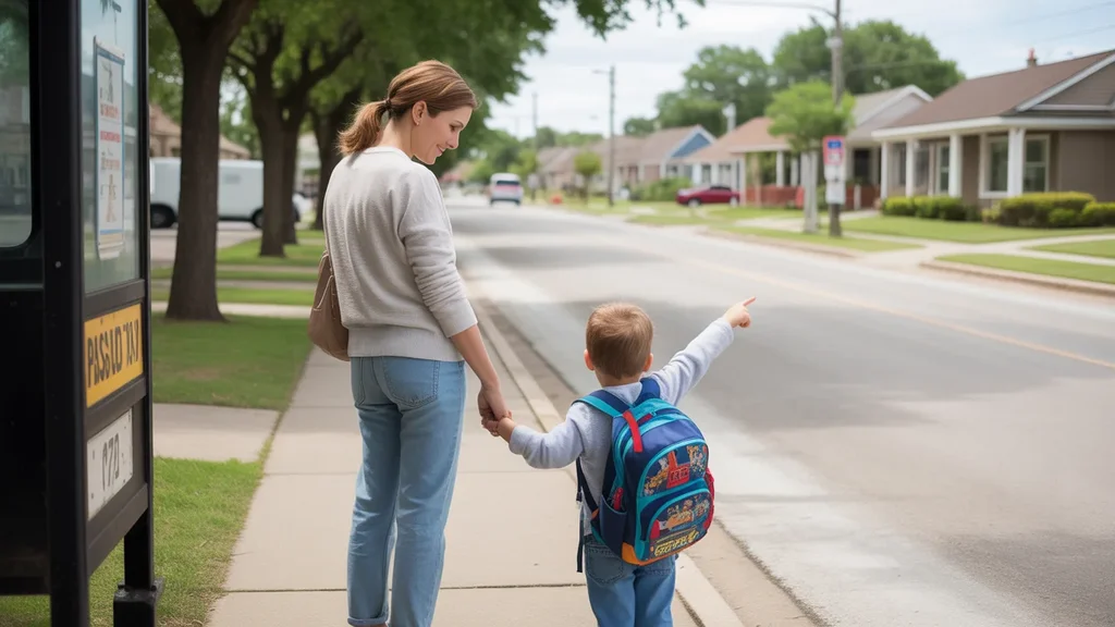
It’s 6:45 a.m., and Maria is already at the bus stop on Fairmont Parkway, thermos in hand, watching headlights stream past in the pre-dawn gray. She’s one of the regulars—same route, same driver, same seat near the front. The bus gets her to her shift at the medical center on time, and she doesn’t have to worry about parking or gas. But she also knows that if her daughter’s daycare calls, or if she needs to pick up groceries on the way home, the trip gets complicated fast. In Pasadena, the bus works—but only if your life fits the route.
Understanding transportation options in Pasadena means recognizing that this is a city built around cars, with public transit playing a supporting role. The layout is low-rise and spread out, with commercial corridors threading through residential blocks. Sidewalks exist, but they’re uneven in quality and coverage. For newcomers, the biggest surprise is often how much daily life assumes you’re driving—and how limited your flexibility becomes if you’re not.
How People Get Around Pasadena
Pasadena sits in the Houston metro, where sprawl is the norm and distances add up quickly. The city’s development pattern reflects decades of car-first planning: wide roads, separated land uses, and parking lots that dominate the streetscape. Most residents drive because the infrastructure makes it the default choice.
That said, Pasadena isn’t a transit desert. Bus service is present, particularly along major corridors like Fairmont Parkway, Pasadena Boulevard, and Red Bluff Road. These routes connect residential neighborhoods to employment hubs, shopping centers, and medical facilities. For people whose daily routines align with these corridors, transit can be a practical option. For everyone else, it’s a car or nothing.
The pedestrian environment is mixed. You’ll find sidewalks in many areas, but they’re not continuous, and crossing busy intersections often feels like an afterthought. Biking infrastructure is minimal. The city’s layout rewards proximity to corridors and punishes distance from them. If you live near a bus line and work near another, you have options. If you don’t, you’re driving.
Public Transit Availability in Pasadena
Public transit in Pasadena centers around bus service, with routes operated by regional providers serving the greater Houston area. Coverage is corridor-focused, meaning that access depends heavily on where you live and where you’re going. If both endpoints are near a major road with frequent service, transit can work. If either endpoint is tucked into a residential subdivision or an industrial park, you’re out of luck.
The system works best for single-destination commuters—people traveling from home to work and back, without detours. It’s less effective for errands, childcare pickups, or multi-stop trips. Service frequency varies by route and time of day, with longer waits during off-peak hours and weekends. Late-night and early-morning coverage is limited, which creates challenges for shift workers and anyone whose schedule doesn’t align with standard commute windows.
Transit also works better in denser pockets near commercial nodes, where grocery stores, pharmacies, and other services cluster within walking distance of bus stops. In more residential areas, the last-mile problem is real: even if the bus gets you close, you may still face a long walk through neighborhoods without sidewalks or safe crossings.
There’s no rail service in Pasadena itself. The nearest light rail connections are in Houston, which means that accessing the broader regional network requires a bus transfer or a drive to a park-and-ride lot. For residents commuting into central Houston, this adds time and complexity.
Driving & Car Dependence Reality
For most households in Pasadena, driving isn’t optional—it’s structural. The city’s low-rise, spread-out form means that jobs, schools, groceries, and healthcare are rarely within walking distance of home. Parking is abundant and usually free, which removes one of the friction points that makes driving costly in denser cities. Gas prices fluctuate, but the infrastructure assumes you’re filling up regularly.
Car dependence also shapes housing choices. Families prioritize driveways, garages, and proximity to major roads. Renters without cars face a narrower set of viable neighborhoods, mostly concentrated along transit corridors. Homeowners, meanwhile, absorb the costs of vehicle ownership—insurance, maintenance, registration—as part of the baseline cost of living.
Driving offers control and flexibility that transit can’t match in Pasadena’s geography. You can leave when you want, stop where you need to, and adjust your route in real time. But that flexibility comes with exposure: fuel costs, traffic congestion during peak hours, and the upfront expense of buying and maintaining a reliable vehicle. For lower-income households, that tradeoff can be brutal—transit saves money but limits opportunity, while driving opens doors but strains budgets.
Commuting Patterns & Daily Mobility
Commuting in Pasadena often means traveling to nearby employment centers—Houston’s industrial corridors, the Texas Medical Center, or energy sector offices scattered across the metro. The city itself is home to petrochemical plants, warehouses, and service-sector jobs, but many residents commute outward for work.
Single-job commuters with predictable schedules have the easiest time, especially if their route aligns with a bus line. But households juggling multiple jobs, school drop-offs, and errands face a different reality. Transit doesn’t accommodate complexity well. If you need to pick up your kid at 3 p.m., stop for groceries, and make it to a second shift by 5, you’re driving.
Proximity matters more than people expect. Living near Fairmont Parkway or Spencer Highway cuts commute friction significantly, even if you’re driving. Living in a subdivision off the main grid adds time and limits your transit options entirely. The city’s street network isn’t a true grid, so shortcuts are rare and traffic bottlenecks are common during rush hours.
Work-from-home arrangements reduce commute pressure for some households, but Pasadena’s economy leans heavily on industries that require physical presence—manufacturing, healthcare, retail, logistics. Remote work is less common here than in white-collar metros, which means most people are still making the trip five days a week.
Who Transit Works For — and Who It Doesn’t
Transit in Pasadena works best for a specific profile: single adults or couples without children, living near a major corridor, commuting to a fixed location with predictable hours. It’s a viable option for lower-income households trying to avoid car expenses, and for workers whose employers are located along well-served routes.
It doesn’t work well for families. Daycare pickups, school runs, and after-school activities require the kind of schedule flexibility and multi-stop capability that only a car provides. It also doesn’t work for shift workers whose hours fall outside peak service windows, or for anyone whose job requires travel between multiple sites during the day.
Renters in corridor-adjacent apartments have the most transit access, but they’re also living in areas with higher traffic noise and less green space. Homeowners in quieter residential areas get more space and calm, but they’re locked into car dependency. The tradeoff is geographic: transit access costs you in neighborhood quality, while car-free living costs you in mobility.
Older adults and people with disabilities face additional barriers. Pasadena’s pedestrian infrastructure isn’t uniformly accessible, and transit vehicles may not accommodate all mobility needs. For these residents, driving often remains necessary even when it’s physically or financially difficult.
Transportation Tradeoffs in Pasadena
Choosing between transit and driving in Pasadena isn’t about convenience—it’s about control, predictability, and exposure. Transit offers lower direct costs and eliminates the need for parking, insurance, and maintenance. But it also means longer travel times, limited schedule flexibility, and reduced access to jobs and services outside the corridor network.
Driving offers freedom and speed, but it ties you to fuel prices, traffic patterns, and the ongoing cost of vehicle ownership. For households with tight budgets, a single car breakdown can cascade into missed shifts, lost income, and financial instability. For households with stable incomes, the car is simply the price of entry to a wider range of housing and employment options.
The real tradeoff isn’t transit versus driving—it’s proximity versus affordability. Living near a bus line in Pasadena often means living in a busier, noisier area with fewer parks and schools. Living in a quieter neighborhood with a yard and good schools usually means driving everywhere. The city’s layout forces you to choose between access and environment, and most families choose the car.
FAQs About Transportation in Pasadena (2026)
Is public transit usable for daily commuting in Pasadena?
Yes, but only if your commute aligns with the corridor-based bus network. If you live near a major route and work near another, transit can be reliable and cost-effective. If either endpoint is off the main grid, you’ll face long walks, infrequent service, or both. Transit works best for single-destination commuters with predictable schedules.
Do most people in Pasadena rely on a car?
Yes. Pasadena’s low-rise, spread-out layout and limited transit coverage make driving the default for most households. Families, shift workers, and anyone with multi-stop daily routines depend on cars. Transit serves a smaller segment—primarily single adults and lower-income workers living near bus corridors.
Which areas of Pasadena are easiest to live in without a car?
Neighborhoods near Fairmont Parkway, Pasadena Boulevard, and Red Bluff Road offer the best transit access. These corridors have more frequent bus service and higher concentrations of grocery stores, pharmacies, and other services within walking distance of stops. Residential subdivisions farther from these routes are effectively car-dependent.
How does commuting in Pasadena compare to nearby cities?
Pasadena shares the Houston metro’s car-first infrastructure, but it lacks the rail access and denser transit networks found closer to downtown Houston. Commute times depend heavily on your destination—trips within Pasadena or to nearby industrial zones are manageable, while commutes into central Houston or across the metro add significant time and complexity.
Can you bike safely in Pasadena?
Biking infrastructure is minimal. While some roads have shoulders, dedicated bike lanes are rare, and the city’s layout prioritizes high-speed vehicle traffic. Recreational biking in parks is possible, but using a bike for commuting or errands requires navigating busy roads without much protection. Most residents don’t consider biking a practical daily option.
How Transportation Fits Into the Cost of Living in Pasadena
Transportation isn’t just a line item—it’s a structural factor that shapes where you can live, what jobs you can take, and how much time you spend managing logistics. In Pasadena, choosing transit means accepting geographic limits and schedule constraints. Choosing a car means absorbing ongoing costs that don’t show up in rent or mortgage payments but hit every month nonetheless.
For households trying to understand their full cost exposure, monthly spending in Pasadena includes not just gas and insurance, but also the opportunity costs of commute time and the flexibility costs of limited transit. The city’s layout rewards car ownership with access, but punishes it with expense. The tradeoff is real, and it’s one of the biggest decisions newcomers face.
If you’re evaluating Pasadena, start by mapping your daily routine—work, school, groceries, healthcare—and see how it overlays with the bus network. If the fit is tight, transit might work. If it’s loose, plan for a car and build that cost into your expectations. Pasadena doesn’t hide what it is: a sprawling, car-dependent city with transit options for those whose lives align with the corridors. Know which category you’re in before you commit.
How this article was built: In addition to public economic data, this article incorporates location-based experiential signals derived from anonymized geographic patterns—such as access density, walkability, and land-use mix—to reflect how day-to-day living actually feels in Pasadena, TX.
—