
Transportation options in Littleton reflect the city’s position as a suburban community within the Denver metro area—close enough to tap into regional transit infrastructure, but structured in ways that still make car ownership the default for most households. Unlike denser urban cores where transit can handle the majority of daily trips, Littleton operates in a middle zone: rail service exists, walkable pockets are real, and some residents do build transit-centered routines. But the broader layout, errand distribution, and commute patterns mean that most people here still depend on a car for flexibility, speed, and reach. Understanding how transportation actually works in Littleton—and who it works for—is essential for anyone weighing a move, especially if you’re coming from a place where transit was either fully reliable or entirely absent.
How People Get Around Littleton
The dominant pattern in Littleton is car-first with selective transit use. Most residents drive for daily errands, school runs, and multi-stop trips, even if they occasionally use transit for commuting into Denver. The city’s infrastructure reflects this: roads are well-maintained, parking is generally available, and the street grid accommodates driving as the primary mode. But Littleton isn’t a car-only environment. Rail service connects parts of the city to the broader metro system, and certain neighborhoods—particularly those closer to transit stations and commercial corridors—support a pedestrian-friendly rhythm that reduces the need to drive for every errand.
What newcomers often misunderstand is that transit viability in Littleton is highly location-dependent. Living near a rail station opens up real alternatives; living a mile away in a quieter subdivision usually doesn’t. The pedestrian-to-road ratio in some areas exceeds thresholds that typically support walkable routines, meaning that if you’re in one of those pockets, you can handle grocery runs, coffee stops, and short errands on foot. But those pockets don’t cover the whole city, and the broader development pattern still assumes car access for most households.
Public Transit Availability in Littleton
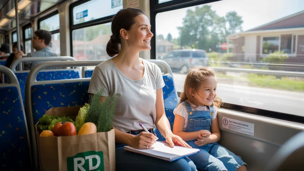
Public transit in Littleton often centers around systems such as RTD (Regional Transportation District), which provides both rail and bus service connecting the city to Denver and surrounding communities. Rail service is present and plays a meaningful role for commuters heading into the urban core, particularly those who live within walking or biking distance of a station. For these residents, transit becomes a practical daily tool—not just a backup option.
But transit coverage in Littleton isn’t uniform. Rail works best for linear, peak-hour commutes into Denver. It’s less useful for cross-town trips, late-night travel, or errands that require multiple stops. Bus service fills some gaps, but frequency and routing mean that transit remains most effective in corridors rather than across the full city. If you’re evaluating whether you can live without a car in Littleton, the answer depends almost entirely on where you live and where you need to go. Near a station, in a walkable pocket, with a straightforward commute? Transit can work. Anywhere else, it’s a supplement, not a replacement.
Driving & Car Dependence Reality
For most households in Littleton, driving isn’t optional—it’s structural. The city’s layout, errand distribution, and residential density make car ownership the path of least resistance. Grocery stores, schools, medical offices, and retail clusters are accessible by car in minutes, but reaching them on foot or by transit often requires significant time or planning. Parking is rarely a friction point; most residential areas include driveways or street parking, and commercial areas provide lots.
Car dependence in Littleton isn’t about preference—it’s about how the city is built. Sprawl isn’t extreme here compared to outer suburbs, but the infrastructure still assumes that most trips will happen by car. For families, multi-earner households, or anyone managing complex schedules, driving offers the flexibility that transit can’t match. The tradeoff is exposure to fuel costs, maintenance, insurance, and the time spent behind the wheel, but for most residents, those costs are absorbed as part of the baseline cost of living here.
Commuting Patterns & Daily Mobility
Commuting in Littleton typically falls into two categories: those who commute into Denver (or another metro job center) and those who work locally or from home. The average commute time is 27 minutes, which reflects a mix of short local drives and longer trips into the urban core. About 40.3% of workers face longer commutes, a figure that suggests many residents are trading proximity for housing cost or neighborhood preference. Only 7.0% of workers are fully remote, meaning the vast majority still need a functional transportation strategy.
For single-destination commuters—especially those heading into Denver on a predictable schedule—rail transit can reduce driving time, avoid parking costs, and eliminate the variability of traffic. But for anyone managing multi-stop days, school pickups, or flexible work hours, driving remains the more practical option. Daily mobility in Littleton rewards those who can structure their routines around either a car or a rail line; it penalizes those who need both but can only afford one.
How this article was built: In addition to public economic data, this article incorporates location-based experiential signals derived from anonymized geographic patterns—such as access density, walkability, and land-use mix—to reflect how day-to-day living actually feels in Littleton, CO.
Who Transit Works For — and Who It Doesn’t
Transit in Littleton works best for renters or owners in core areas near rail stations, particularly those commuting into Denver for work. If your daily routine is linear—home to station to office—and you can handle errands on foot or by bike in your neighborhood, transit becomes a genuine alternative to car ownership. Younger professionals, single-person households, and couples without children are the most likely to make this work, especially if they’re willing to prioritize location over space when choosing housing.
Transit doesn’t work well for families with school-age children, households in peripheral neighborhoods, or anyone whose job, errands, or social life requires frequent trips across town. The infrastructure simply isn’t designed to support complex, multi-stop routines without a car. For these households, transit might serve as an occasional supplement—taking the train into Denver for an event, for example—but it won’t replace the need for a vehicle in daily life.
Transportation Tradeoffs in Littleton
The core tradeoff in Littleton is predictability versus flexibility. Transit offers predictable commute times (when it aligns with your route), lower exposure to fuel price swings, and the ability to avoid traffic stress. Driving offers flexibility, speed for multi-stop trips, and the ability to live anywhere in the city without worrying about proximity to a station. Neither option is universally better; the right choice depends on your household structure, work location, and daily routine.
Another tradeoff is housing location versus transportation convenience. Living near a rail station often means higher rent or home prices, denser surroundings, and less space. Living farther out usually means more square footage and quieter streets, but it locks in car dependence and longer commutes. In Littleton, these tradeoffs are real and measurable in terms of time, convenience, and where money goes each month, even if the dollar amounts vary by household.
FAQs About Transportation in Littleton (2026)
Is public transit usable for daily commuting in Littleton?
Yes, but only if you live near a rail station and commute into Denver or another metro job center on a predictable schedule. For linear, peak-hour commutes, transit is a practical option. For cross-town trips, errands, or off-peak travel, it’s far less useful.
Do most people in Littleton rely on a car?
Yes. The majority of households in Littleton depend on a car for daily errands, school runs, and commuting. Transit serves as a supplement for some residents, but car ownership remains the norm across most neighborhoods.
Which areas of Littleton are easiest to live in without a car?
Neighborhoods within walking distance of a rail station, particularly those with higher pedestrian infrastructure and mixed-use development, offer the best chance of reducing car dependence. These areas support walkable errands and provide direct transit access to Denver.
How does commuting in Littleton compare to nearby cities?
Littleton’s average commute time of 27 minutes is moderate for the Denver metro area. It’s shorter than outer suburbs but longer than neighborhoods closer to the urban core. The key variable is whether you’re commuting into Denver or working locally.
Can you bike for transportation in Littleton?
Biking infrastructure exists in some areas, particularly near transit corridors and commercial zones, but it’s not comprehensive citywide. Biking works best as a supplement to driving or transit, rather than as a standalone transportation mode for most households.
How Transportation Fits Into the Cost of Living in Littleton
Transportation in Littleton isn’t just a line item—it’s a structural factor that shapes housing choice, time allocation, and daily flexibility. Whether you drive, take transit, or combine both, your transportation strategy determines where you can live, how much time you spend commuting, and how much control you have over your schedule. For households evaluating Littleton, the question isn’t whether transit exists (it does), but whether it aligns with your specific routine and location. If you’re looking for numeric context on how transportation fits into your monthly budget, that article breaks down the broader cost structure. The key takeaway here is that transportation in Littleton rewards location-aware decisions: choose proximity to transit or accept car dependence, but don’t assume you can avoid the tradeoff.