
Can you live in Hartford without a car? The answer depends less on willpower and more on where you live, where you work, and how you structure daily life. Hartford has real public transit infrastructure—including rail service—and parts of the city offer genuinely walkable, errand-friendly environments. But the metro’s geography and the way neighborhoods are laid out mean that for most households, driving remains the default, not a backup plan.
Understanding how people actually get around Hartford means looking past the transit map and into the texture of daily movement: who benefits from rail access, where walkability breaks down, and why a 22-minute average commute can feel very different depending on which side of town you’re starting from.
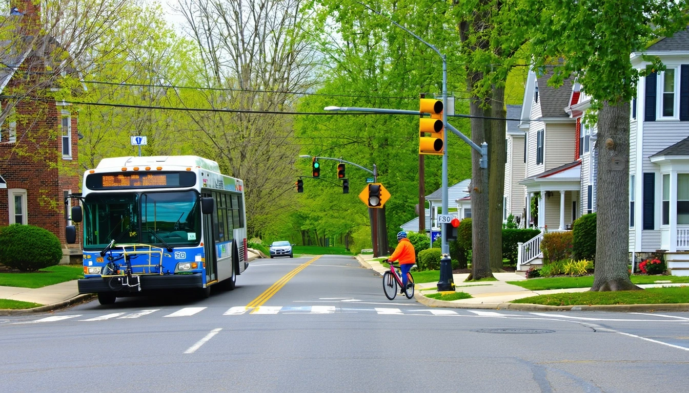
How People Get Around Hartford
Hartford’s mobility landscape is shaped by a vertical, mixed-use core surrounded by lower-density neighborhoods that stretch into the suburbs. The city has rail service, a pedestrian-to-road ratio that exceeds typical suburban norms in certain areas, and grocery and food access dense enough to support car-free errands in parts of town. But those advantages are concentrated. Step outside the walkable pockets, and the infrastructure shifts quickly toward car dependence.
Most residents drive. Work-from-home rates sit at 5.9%, meaning the vast majority of Hartford workers are commuting somewhere, and nearly a quarter face long commutes despite the city’s modest geographic footprint. The average commute clocks in at 22 minutes, but that figure masks significant variation: someone living near a rail line and working downtown may spend less time in transit than someone driving from the suburbs to an office park on the metro’s edge.
What newcomers often misunderstand is that Hartford’s transit strengths are real but narrow. Rail service exists, and it works well for specific corridors and specific commutes. But it doesn’t blanket the metro, and it doesn’t run everywhere you might need to go outside of traditional work hours. The city’s walkable, errand-accessible zones make car-light living possible for some households, but they don’t extend uniformly across all neighborhoods.
Public Transit Availability in Hartford
Public transit in Hartford often centers around systems such as CTfastrak and regional rail options, though coverage varies by area. Rail service is present and functional, connecting parts of the city to regional employment centers and offering a genuine alternative to driving for commuters whose origins and destinations align with the network. Bus service fills in some gaps, but the system’s usefulness depends heavily on where you live and where you’re trying to go.
Transit works best in and around the core, where density, mixed land use, and pedestrian infrastructure support multimodal movement. Residents in these areas can combine walking, rail, and bus service to handle commutes and errands without owning a car. But as you move into lower-density neighborhoods and suburban edges, service frequency drops, coverage thins, and trip times lengthen. Late-night and weekend service is limited, which narrows transit’s practical utility for anyone whose schedule doesn’t align with traditional commuting hours.
Hartford’s transit infrastructure isn’t symbolic—it’s real, and people use it daily. But it’s also geographically constrained. If your home, workplace, and regular destinations all fall within the served corridors, transit can anchor your routine. If any one of those pieces sits outside the network, driving becomes necessary, not optional.
Driving & Car Dependence Reality
For most Hartford households, driving isn’t about preference—it’s about structure. The metro’s layout, the distribution of jobs, schools, and services, and the gaps in transit coverage mean that even residents who live in walkable neighborhoods often need a car for some part of their routine. Families managing multi-stop logistics—daycare, school, grocery runs, activities—find that transit’s limited evening and weekend service doesn’t accommodate the complexity of daily life.
Parking in the core can be tight and sometimes costly, but it’s rarely prohibitive. Suburban neighborhoods typically offer abundant parking, and most residential areas were designed with car ownership in mind. Commute flexibility—the ability to leave early, stay late, or make an unplanned stop—favors driving, especially for households juggling multiple schedules.
Car dependence in Hartford isn’t a failure of planning; it’s a reflection of geography and infrastructure investment. The city has walkable zones and functional transit, but those assets serve a slice of the population well and leave the rest reliant on personal vehicles. That’s not a moral judgment—it’s a practical reality that shapes where people choose to live and how they structure their days.
Commuting Patterns & Daily Mobility
Hartford’s commuting reality is defined by short average times and significant outliers. The 22-minute average commute suggests a compact metro, but 23.7% of workers face long commutes, indicating that proximity to work varies widely depending on neighborhood and job location. Single-job commuters working traditional hours in the core or along transit corridors benefit from rail access and relatively predictable travel times. But households managing multiple jobs, non-standard shifts, or frequent travel between dispersed locations find that transit’s limitations push them toward driving.
Daily mobility in Hartford often involves a mix of modes. Someone might take the train to work but drive to the grocery store. Another household might walk to nearby errands but rely on a car for weekend trips or family obligations outside the city. The pedestrian infrastructure in walkable pockets supports short trips on foot, and the presence of parks and water features makes those walks more pleasant than in purely car-oriented suburbs. But the bike infrastructure, while present, is inconsistent—suitable for some routes and recreational use, but not yet a reliable citywide commuting option for most people.
The structure of Hartford’s neighborhoods means that proximity matters more than the map suggests. Living near a rail stop in a mixed-use area changes the equation entirely, turning transit from a compromise into a practical advantage. Living a mile outside that zone can mean the difference between a 15-minute train ride and a 30-minute drive through surface streets.
How this article was built: In addition to public economic data, this article incorporates location-based experiential signals derived from anonymized geographic patterns—such as access density, walkability, and land-use mix—to reflect how day-to-day living actually feels in Hartford, CT.
Who Transit Works For — and Who It Doesn’t
Transit in Hartford works best for renters and younger professionals living in or near the core, particularly those whose jobs sit along rail corridors or in downtown offices. These households can structure their routines around transit schedules, walk to groceries and services, and treat car ownership as optional rather than essential. The city’s high food and grocery density in accessible zones means that daily errands don’t require a vehicle, and the presence of hospitals and pharmacies within walkable or transit-served areas supports car-free living for those with compatible needs.
Families, especially those with school-age children, face a different calculus. School density in Hartford sits in the medium band, and playground infrastructure is limited, meaning that families often need to drive to access educational and recreational options. Multi-stop logistics—dropping kids at school, getting to work, picking up groceries, managing after-school activities—don’t align well with transit’s fixed routes and limited off-peak service. For these households, a car isn’t a luxury; it’s the tool that makes daily life manageable.
Homeowners in peripheral neighborhoods, even those within Hartford’s city limits, typically find themselves car-dependent. The walkable pockets and transit access that define the core don’t extend uniformly, and the infrastructure outside those zones assumes car ownership. That doesn’t mean these neighborhoods are less livable—many offer larger homes, quieter streets, and easier parking—but they require a different mobility strategy.
Transportation Tradeoffs in Hartford
Choosing between transit and driving in Hartford isn’t about cost alone—it’s about control, predictability, and flexibility. Transit offers fixed costs, no parking hassles, and freedom from vehicle maintenance. It works well when your routine aligns with service patterns and your destinations fall within the network. But it also means less spontaneity, longer trip times for multi-stop errands, and limited options outside traditional commuting hours.
Driving offers flexibility and speed, especially for trips that don’t follow a straight line between home and work. It accommodates last-minute changes, complex logistics, and travel during evenings and weekends. But it also means exposure to fluctuating gas prices—currently $3.62 per gallon in Hartford—and the ongoing costs of insurance, maintenance, and parking where applicable.
For households in walkable, transit-served areas, the tradeoff often comes down to convenience versus commitment. Going car-free or car-light requires planning and acceptance of some limitations, but it also reduces monthly expenses and simplifies daily routines. For households outside those zones, the tradeoff is less about choice and more about necessity: driving is simply how Hartford works for most of the metro.
FAQs About Transportation in Hartford (2026)
Is public transit usable for daily commuting in Hartford?
Yes, if you live and work along rail corridors or in the core. Rail service is present and functional, and bus routes supplement coverage in denser areas. But service is limited outside the core, and evening and weekend options are sparse. Transit works well for traditional commutes but less so for complex, multi-stop routines.
Do most people in Hartford rely on a car?
Yes. While transit exists and some neighborhoods support car-free living, the majority of Hartford residents drive. The metro’s layout, job distribution, and transit coverage gaps mean that car ownership remains the default for most households, especially families and those living outside the core.
Which areas of Hartford are easiest to live in without a car?
Neighborhoods near rail stops with high pedestrian infrastructure and dense grocery and food access offer the most viable car-free living. These areas—typically in or adjacent to downtown—allow residents to walk to errands, take transit to work, and manage daily life without a vehicle. Peripheral neighborhoods generally require a car.
How does commuting in Hartford compare to nearby cities?
Hartford’s 22-minute average commute is relatively short, but nearly a quarter of workers face long commutes, suggesting that proximity to work varies widely. The city’s rail access and walkable core offer advantages for some, but the overall metro remains more car-dependent than transit-oriented compared to larger regional hubs.
Can you bike for transportation in Hartford?
Bike infrastructure exists in some areas, with a bike-to-road ratio in the medium band, but it’s not yet comprehensive or consistent citywide. Biking works for some routes and recreational use, but it’s not a reliable primary commuting option for most residents. Infrastructure is present in pockets, not uniformly distributed.
How Transportation Fits Into the Cost of Living in Hartford
Transportation in Hartford isn’t just a line item—it’s a structural factor that shapes where you can afford to live, how much time you spend commuting, and how much flexibility you have in daily life. Households that can live car-free or car-light in transit-served, walkable neighborhoods gain predictability and reduce ongoing costs. Those who need to drive face exposure to fuel price swings, maintenance, and insurance, but gain speed, convenience, and access to the broader metro.
The choice between transit and driving also influences housing decisions. Living near rail or in a walkable pocket often means higher rent or home prices, but it can offset transportation costs and reduce time spent commuting. Living farther out typically means lower housing costs but higher transportation expenses and longer commutes for those 23.7% facing long trips to work.
Hartford’s transportation reality is neither purely car-dependent nor fully transit-accessible. It’s a hybrid system that works well for some households and requires adaptation for others. Understanding where you fall in that spectrum—based on where you live, where you work, and how you structure daily life—is essential to making informed decisions about living here. The city offers real alternatives to driving, but only if your routine aligns with where those alternatives actually exist.