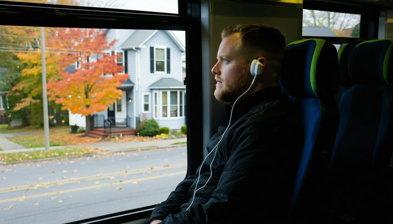
It’s 7:15 a.m., and Maya is stepping onto a regional shuttle near Midtown, transit card in hand. The morning light catches the motion—one foot on the platform, the other still on the pavement—a routine she’s practiced hundreds of times. She’s headed downtown for work, a commute that takes her through some of Detroit’s most connected neighborhoods. For Maya, public transit isn’t a compromise; it’s a practical choice that works because of where she lives. But ten miles out, in the outer neighborhoods where her sister rents a house, the same trip would require a car, careful planning, and a fundamentally different relationship with mobility.
Understanding transportation options in Detroit means recognizing that this city operates on two distinct mobility systems. In certain core areas—particularly where pedestrian infrastructure is substantial and rail service is present—residents can structure daily life around transit, walking, and cycling. But beyond those pockets, Detroit remains a car-first environment where driving isn’t optional. The gap between these two realities shapes housing decisions, commute strategies, and the daily friction households absorb just getting from place to place.
How People Get Around Detroit
Detroit’s transportation landscape reflects its geographic scale and the uneven distribution of infrastructure investment over decades. The city’s footprint is large, and while some neighborhoods feature high pedestrian-to-road ratios and mixed land use, many areas remain oriented around automobile access. What newcomers often misunderstand is that Detroit isn’t uniformly car-dependent—but it’s not uniformly transit-friendly either. The dominant pattern depends entirely on which part of the city you’re in.
In neighborhoods where both residential and commercial land use are present and building density is higher, walking and transit become viable for daily errands. Food and grocery density exceeds typical thresholds in these areas, meaning residents can reach essentials without a vehicle. Cycling infrastructure is notable throughout parts of the city, and the bike-to-road ratio supports regular bike commuting for those comfortable navigating urban streets. But this accessibility doesn’t extend citywide. Peripheral neighborhoods, where development is lower-density and services are more dispersed, require a car for nearly every trip.
The result is a bifurcated mobility experience. Households in walkable pockets can reduce or eliminate car ownership. Households elsewhere absorb the full cost and complexity of car dependence—insurance, maintenance, fuel, parking—as a baseline requirement for participation in daily life.
Public Transit Availability in Detroit
Public transit in Detroit often centers around systems such as the Detroit Department of Transportation (DDOT) and the QLine streetcar, with regional bus service extending into surrounding areas. Rail transit is present and serves key corridors, particularly connecting downtown, Midtown, and nearby districts. For residents living near these lines, transit provides a functional backbone for commuting and errands.
Transit works best in the core. Where rail stations are accessible and bus stops are frequent, households can structure routines around scheduled service. Grocery trips, medical appointments, and social plans become manageable without a car, especially when combined with walking or cycling for the last mile. Park density is high in these areas, and water features are present, making non-car mobility not just practical but pleasant.
But transit coverage falls short in the outer neighborhoods. Service frequency drops, routes become less direct, and the time cost of a bus-dependent commute rises sharply. Late-night and weekend service is limited across much of the city, and gaps in coverage mean that even short trips can require transfers or long waits. For households in these areas, transit becomes a backup option rather than a primary mode.
This isn’t a failure of the system—it’s a reflection of Detroit’s geography and the challenge of serving a large, low-density footprint with fixed-route transit. The infrastructure exists and functions well where density supports it. Elsewhere, the math simply doesn’t favor transit.
Driving & Car Dependence Reality
For most Detroit households, driving remains the default. The city’s layout, the distance between residential and employment centers, and the limited reach of transit all reinforce car dependence. Parking is generally abundant and inexpensive compared to denser metros, which reduces one friction point but doesn’t eliminate the underlying cost structure of vehicle ownership.
Sprawl isn’t just a spatial characteristic—it’s a daily logistics challenge. Errands that would take fifteen minutes in a compact neighborhood can require thirty minutes of driving in areas where services are spread across disconnected commercial strips. Commuters who work in suburban office parks or industrial zones outside the city have few alternatives to driving. Even within Detroit, cross-town trips that don’t align with transit routes often take twice as long by bus as by car.
Car reliance also shapes housing decisions. Households that need two vehicles to manage work and school schedules prioritize homes with driveways or garages. Renters in older neighborhoods without off-street parking face the added friction of street parking competition, especially in winter. The necessity of driving doesn’t just add cost—it adds planning overhead, maintenance risk, and exposure to fuel price volatility. Gas prices in Detroit currently sit at $2.88 per gallon, a figure that fluctuates but remains a recurring line item for car-dependent households.
The tradeoff is flexibility. Driving allows households to access jobs, services, and social networks across a wide geographic area without being constrained by transit schedules or coverage gaps. For families with children, multiple jobs, or irregular hours, that flexibility often outweighs the cost.
Commuting Patterns & Daily Mobility
Commuting in Detroit varies widely depending on where you live and where you work. Residents in core neighborhoods with rail access can often manage a predictable, transit-based commute to downtown or Midtown employers. These commutes tend to be structured around fixed schedules, and the time cost is relatively stable.
But many Detroit workers commute to suburban job centers, industrial zones, or regional employers outside the city limits. These trips almost always require a car. Multi-stop commutes—dropping kids at school, stopping for groceries, picking up a partner—are common and difficult to manage without a vehicle. Flexibility becomes the primary value, and transit’s fixed routes and schedules become a constraint rather than a convenience.
Households with one working adult and predictable hours can sometimes optimize around transit. Households with two working adults, shift work, or childcare logistics almost always default to driving. The commute isn’t just about distance—it’s about the number of variables that need to align for a trip to work.
Who Transit Works For — and Who It Doesn’t
Transit in Detroit works well for a specific subset of households: those living in walkable pockets near rail lines, working in the core, and comfortable structuring daily life around fixed schedules. Renters in Midtown, downtown, or nearby districts with access to grocery density and park space can often reduce or eliminate car ownership. Single adults or couples without children have the most flexibility to make transit work.
Transit becomes harder for families with school-age children, especially if schools aren’t on a direct transit route. It’s harder for households with irregular work hours or jobs in suburban zones. It’s harder for anyone managing medical appointments, bulk shopping, or caregiving responsibilities that require time efficiency and route flexibility.
Homeowners in peripheral neighborhoods—even those who would prefer to use transit—often find that the infrastructure simply isn’t there. School density is moderate in some areas, but playground density is low, and the amenities families need are dispersed. Without a car, these households face isolation rather than mobility.
The fit isn’t about preference—it’s about alignment between household structure, employment location, and infrastructure availability. Transit works when all three align. When they don’t, driving becomes non-negotiable.
Transportation Tradeoffs in Detroit
Choosing between transit and driving in Detroit isn’t a simple cost comparison—it’s a tradeoff between predictability and flexibility, between fixed schedules and on-demand access, between lower direct costs and higher time costs.
Transit offers lower direct expenses and eliminates the maintenance, insurance, and depreciation burden of car ownership. It also removes exposure to fuel price swings and parking hassles. For households in core neighborhoods, transit provides a stable, predictable routine that integrates well with walking and cycling.
Driving offers control. It allows households to manage complex logistics, reach dispersed destinations, and absorb last-minute changes without penalty. It supports employment across a wider geographic area and makes errands faster and more efficient. But it comes with ongoing costs, maintenance risk, and the need for parking and storage.
The decision isn’t binary. Many Detroit households use a hybrid approach—one car for the household, transit for one commuter, cycling for errands. The key is understanding which mode aligns with your daily reality and which tradeoffs you’re equipped to manage.
How this article was built: In addition to public economic data, this article incorporates location-based experiential signals derived from anonymized geographic patterns—such as access density, walkability, and land-use mix—to reflect how day-to-day living actually feels in Detroit, MI.
FAQs About Transportation in Detroit (2026)
Is public transit usable for daily commuting in Detroit?
Yes, but only in specific areas. Residents in core neighborhoods near rail lines and with access to frequent bus service can manage daily commutes to downtown or Midtown employers. Outside these zones, transit coverage is limited, and commuting by bus becomes time-intensive and less reliable. If your home and workplace are both within the transit-served core, it’s viable. If either is outside that zone, driving becomes necessary.
Do most people in Detroit rely on a car?
Yes. The majority of Detroit households depend on a car for daily mobility. The city’s large footprint, dispersed services, and limited transit coverage outside core neighborhoods make driving the default for most residents. Even households with access to transit often keep a car for errands, weekend trips, or backup flexibility.
Which areas of Detroit are easiest to live in without a car?
Midtown, downtown, and nearby districts with high pedestrian infrastructure, rail access, and grocery density are the most car-optional. These neighborhoods support walking, cycling, and transit-based routines. Peripheral neighborhoods and outer residential areas generally require a car for daily life.
How does commuting in Detroit compare to nearby cities?
Detroit’s commute reality depends heavily on where you live and work. Core-to-core commutes are manageable by transit and comparable to other mid-sized metros. Suburb-to-suburb or cross-regional commutes require driving and can involve significant time, especially during peak hours. The key difference is the limited reach of transit outside the core, which makes Detroit more car-dependent than cities with more extensive regional rail networks.
Can you bike safely in Detroit?
Cycling infrastructure is notable in parts of Detroit, and the bike-to-road ratio supports regular cycling in core neighborhoods. Protected lanes and bike-friendly streets exist, particularly in areas with mixed land use and higher density. However, cycling comfort and safety vary widely across the city. Riders should assess specific routes and neighborhoods based on their own experience level and risk tolerance.
How Transportation Fits Into the Cost of Living in Detroit
Transportation isn’t just a budget line—it’s a structural factor that shapes where you can live, how you spend your time, and what tradeoffs you’re forced to make. In Detroit, mobility decisions ripple through your monthly budget: housing in transit-accessible neighborhoods may cost more, but eliminating a car payment, insurance, and maintenance can offset that premium. Conversely, lower-cost housing in peripheral areas often comes with mandatory car ownership and longer commutes, which add both cost and time burden.
The real question isn’t whether transit or driving is cheaper—it’s which mode aligns with your household structure, employment location, and daily logistics. Households in walkable pockets with rail access can build routines that minimize transportation costs and maximize time efficiency. Households elsewhere need to plan for the full cost and complexity of car dependence as a baseline.
Detroit’s transportation landscape rewards specificity. Know where you’ll be living, where you’ll be working, and what your daily routine actually requires. Test the commute before you commit. Walk the neighborhood. Check the bus schedule. Understand what flexibility you’re gaining or giving up. The city offers real options—but only if you’re in the right place to use them.