Corona Transit & Commute Snapshot
| Metric | Corona, CA |
|---|---|
| Average Commute Time | 35 minutes |
| Long Commute (60+ min) | 56.0% |
| Work From Home | 21.1% |
| Gas Price | $4.50/gal |
How People Get Around Corona
Understanding transportation options in Corona means recognizing a city caught between suburban car dependence and emerging transit infrastructure. Corona sits in the western Inland Empire, where sprawling residential neighborhoods meet regional rail corridors and concentrated commercial strips. Most newcomers assume Corona is purely car-first territory—and for many households, it is—but the reality is more textured than that.
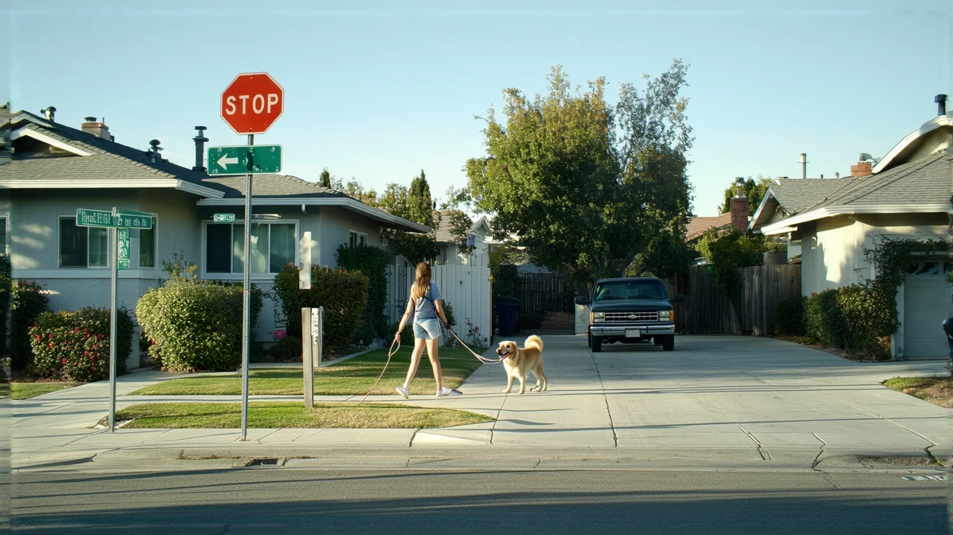
The city’s layout creates pockets of genuine walkability alongside vast stretches where driving remains the only practical option. Corona’s pedestrian infrastructure is surprisingly substantial in certain areas, with a high ratio of sidewalks and pathways relative to road networks. Rail service connects Corona to broader regional destinations, and cycling infrastructure appears throughout parts of the city. Yet these assets don’t distribute evenly, and the typical Corona household still structures daily life around car access.
What newcomers often misunderstand is that Corona’s transportation reality depends heavily on where you live within the city. Proximity to rail stations, walkable commercial corridors, and mixed-use zones determines whether you’ll drive everywhere or whether you can realistically reduce car dependence. The 35-minute average commute reflects a city where many residents work outside Corona entirely, and over half face commutes exceeding an hour. That long-commute exposure shapes how households evaluate transportation tradeoffs here.
Public Transit Availability in Corona
Public transit in Corona often centers around systems such as Metrolink commuter rail, which connects the city to Los Angeles, Orange County, and other Inland Empire destinations. Rail service provides a meaningful alternative for workers commuting to major employment centers outside Corona, particularly those with predictable schedules and destinations near station hubs. The presence of rail distinguishes Corona from purely car-dependent suburbs, but it doesn’t eliminate driving for most residents.
Transit works best for households living near stations and working along established rail corridors. Commuters heading downtown Los Angeles, Riverside, or Irvine can structure their routines around train schedules, avoiding freeway volatility and fuel exposure. But transit coverage thins quickly outside these corridors. Bus service exists, but frequency and reach remain limited compared to denser urban cores. Late-hour service, weekend coverage, and cross-town routes often fall short of what daily life demands.
The reality is that transit serves a specific slice of Corona’s population well—those whose origins, destinations, and schedules align with existing infrastructure. For everyone else, transit remains supplemental at best. Families managing school pickups, workers with irregular hours, and residents in peripheral neighborhoods find transit impractical for daily errands and household logistics. Corona’s transit infrastructure is real, but it’s not comprehensive.
Driving & Car Dependence Reality
Driving remains the dominant mobility mode in Corona because the city’s geography and development pattern demand it. Residential neighborhoods spread across low-density subdivisions, commercial activity clusters along major corridors, and employment centers scatter throughout the region. Even in areas with decent pedestrian infrastructure, the distances between home, work, groceries, and services often exceed what walking or biking can reasonably cover.
Car ownership in Corona isn’t just about convenience—it’s about access. Households without reliable vehicles face significant friction running errands, reaching medical appointments, and managing multi-stop trips. Parking is rarely a constraint; most homes include garages or driveways, and commercial lots accommodate drivers easily. The tradeoff isn’t parking stress but rather fuel exposure, maintenance costs, and the time absorbed by driving.
Corona’s position within the Inland Empire means many residents commute to jobs in Los Angeles, Orange County, or Riverside. Freeway access via the 91 and 15 corridors is essential, and traffic volatility shapes daily routines. The 56% of workers facing commutes over an hour reflects a city where driving long distances is common, not exceptional. For these households, car dependence isn’t a choice—it’s the infrastructure reality they navigate every day.
Commuting Patterns & Daily Mobility
Commuting in Corona typically means either a long drive to a distant job or a shorter trip within the Inland Empire. The 35-minute average masks significant variation: some residents work locally and face minimal commute friction, while others spend two hours daily on freeways. The 21.1% working from home have opted out of commuting entirely, a pattern that reshapes how those households value proximity and transportation access.
Single-destination commuters—those traveling to one workplace on a predictable schedule—benefit most from Corona’s rail infrastructure. They can structure routines around train times, avoid freeway congestion, and reduce fuel exposure. But many Corona households manage more complex mobility: parents dropping kids at school before heading to work, workers making client visits, or families running errands across multiple locations. These multi-stop patterns favor driving, where flexibility and control outweigh transit’s limitations.
Daily mobility in Corona also depends on where you live within the city. Residents near walkable commercial corridors can handle some errands on foot or by bike, reducing the need to drive for every small task. But most Corona neighborhoods require a car to reach groceries, pharmacies, and services. The city’s infrastructure supports driving far more comprehensively than it supports other modes, and household routines reflect that imbalance.
Who Transit Works For — and Who It Doesn’t
Transit in Corona works best for solo commuters with fixed schedules, destinations along rail corridors, and housing near stations. These residents can reduce or eliminate daily driving, cutting fuel costs and avoiding freeway stress. Renters in walkable pockets near rail access gain the most flexibility, particularly if they work in Los Angeles or Orange County and don’t need a car for weekend errands.
Transit falls short for families managing complex logistics. School pickups, after-school activities, grocery runs, and medical appointments rarely align with transit schedules or coverage. Households with young children, multiple jobs, or irregular hours find driving non-negotiable. Peripheral neighborhoods—those outside walkable cores and distant from rail stations—face the weakest transit access, leaving residents fully car-dependent regardless of preference.
Homeowners in Corona tend to own cars regardless of transit availability, both because their neighborhoods demand it and because parking and storage aren’t constraints. The households most likely to reduce car dependence are younger renters in core areas, remote workers who commute infrequently, and individuals willing to structure their lives around transit limitations. For everyone else, Corona’s transportation reality means owning and driving a vehicle daily.
Transportation Tradeoffs in Corona
Choosing between transit and driving in Corona isn’t about cost alone—it’s about control, predictability, and flexibility. Driving offers the ability to leave when you want, stop where you need, and manage multi-stop trips without coordination. Transit offers relief from freeway stress, protection from fuel price swings, and the ability to use commute time differently. But transit also means fixed schedules, limited coverage, and reduced spontaneity.
Households evaluating these tradeoffs must weigh their specific routines and priorities. A solo commuter heading to downtown LA five days a week may find rail service liberating, while a parent managing school and work logistics will find driving indispensable. Proximity to transit infrastructure becomes a housing tradeoff: living near a station often means higher rent or smaller homes, but it unlocks mobility options that peripheral neighborhoods can’t match.
Corona’s transportation structure also affects time exposure. Long commutes—whether by car or train—consume hours daily, shaping when households can manage errands, exercise, and family time. Reducing commute length, whether by working closer to home or choosing housing near work, often matters more than the mode itself. The 21.1% working from home have eliminated commute time entirely, a shift that changes how they experience Corona’s layout and accessibility.
FAQs About Transportation in Corona (2026)
Is public transit usable for daily commuting in Corona?
Public transit in Corona is usable for specific commute patterns—primarily solo trips to major regional destinations along rail corridors. Commuters heading to Los Angeles, Riverside, or Orange County can structure routines around train schedules and avoid freeway congestion. But transit coverage is limited outside these corridors, and households managing multi-stop trips or irregular hours will find driving more practical. Transit works well for some Corona residents, but it’s not a comprehensive solution for most.
Do most people in Corona rely on a car?
Yes. The majority of Corona households rely on cars for daily mobility because the city’s layout, distances, and infrastructure favor driving. Even areas with walkable pockets and rail access often require a car for groceries, errands, and trips outside transit corridors. Parking is abundant, and most homes include garages or driveways. While some residents reduce car dependence by living near rail stations, car ownership remains the norm across Corona.
Which areas of Corona are easiest to live in without a car?
The easiest areas to live without a car in Corona are those near rail stations and within walkable commercial corridors. These pockets offer pedestrian infrastructure, access to transit, and proximity to groceries and services. Residents in these areas can handle some daily tasks on foot or by bike and use rail for longer commutes. But even in these zones, most households still own cars for flexibility and coverage beyond what transit provides.
How does commuting in Corona compare to nearby cities?
Commuting in Corona involves longer average times and higher long-commute exposure than many nearby cities, reflecting the region’s sprawl and the prevalence of cross-county commuting. The 35-minute average and 56% facing hour-plus commutes indicate that many Corona residents work far from home. Cities closer to major employment centers or with denser transit networks may offer shorter, more predictable commutes. Corona’s position in the western Inland Empire means residents often absorb significant travel time to reach jobs in Los Angeles or Orange County.
Does Corona have bike infrastructure?
Yes. Corona has notable cycling infrastructure in parts of the city, with bike lanes and paths appearing throughout certain areas. The bike-to-road ratio is relatively high, indicating that cycling is a viable option for some trips and residents. However, cycling works best for shorter distances and within areas where infrastructure is concentrated. Long commutes, high-speed corridors, and peripheral neighborhoods remain car-oriented, limiting how many households can rely on bikes for daily transportation.
How Transportation Fits Into the Cost of Living in Corona
Transportation in Corona isn’t just a line item—it’s a structural factor that shapes housing choices, time allocation, and household flexibility. Deciding where to live within Corona determines whether you’ll drive daily or whether you can access transit and walkable services. Proximity to rail stations and commercial corridors often comes with higher housing costs, but it reduces transportation friction and fuel exposure. Peripheral neighborhoods offer more space and lower rents but lock households into car dependence and longer commutes.
The 56% of workers facing hour-plus commutes absorb not just fuel costs but also time costs—hours that could otherwise go toward family, rest, or earning. Remote workers and those with short commutes gain flexibility and reduce transportation exposure entirely. For households evaluating where money goes in Corona, transportation decisions ripple through housing, time, and daily logistics in ways that aren’t always visible upfront.
Corona’s transportation reality rewards households who align their housing location with their mobility needs. If your job sits along a rail corridor and you value freeway-free commuting, living near a station makes sense. If you need a car for family logistics or work outside transit zones, proximity to freeways and parking matters more. Understanding how Corona’s infrastructure works—and where it doesn’t—helps you choose a location that fits your routine rather than fighting against it.
How this article was built: In addition to public economic data, this article incorporates location-based experiential signals derived from anonymized geographic patterns—such as access density, walkability, and land-use mix—to reflect how day-to-day living actually feels in Corona, CA.