The alarm goes off at 6:15 a.m. in Little Havana. You’re out the door by 6:50, walking three blocks to the Metrorail station as the humidity already starts to build. The train pulls in at 7:02—on time—and you’re downtown by 7:25, joining the stream of people heading into office towers along Brickell Avenue. No traffic. No parking hunt. Just a predictable 35 minutes, door to desk.
But ten miles west, in Kendall, your colleague is already on the Palmetto Expressway, inching through brake lights. Her commute to the same office takes 50 minutes on a good day, longer if there’s an accident near the Dolphin interchange. She tried the bus once—it added 90 minutes each way. So she drives, every day, because there’s no other realistic option from where she lives.
That’s the transportation reality in Miami in 2026: intensely place-dependent, shaped by density, infrastructure, and whether you live near the bones of the transit system or out in the sprawl.
How People Get Around Miami
Miami operates as a split-mobility city. In the urban core—downtown, Brickell, parts of Coral Gables, and along the Metrorail spine—transportation options in Miami include rail, bus, bike lanes, and walkable streets. The pedestrian infrastructure in these areas is substantial, and the bike-to-road ratio is high enough that cycling is a practical choice for short trips. Mixed-use development means errands, work, and transit access often cluster within a manageable radius.
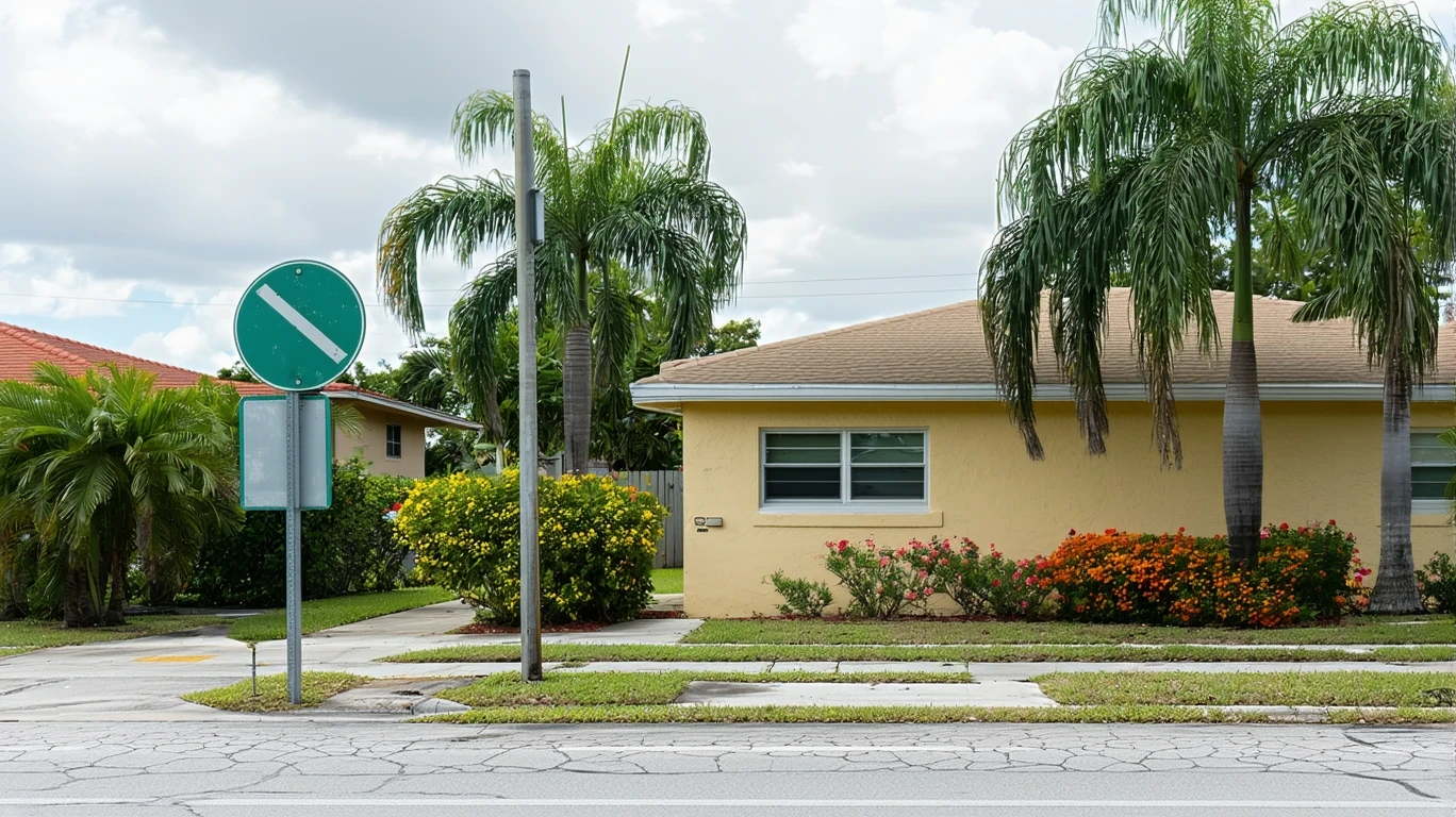
But step outside those corridors, and the city shifts. Suburban neighborhoods in West Kendall, Doral, Hialeah, and Homestead are car-first by design. Streets prioritize vehicle flow. Sidewalks thin out or disappear. Transit service exists, but routes are sparse and slow. The result is a transportation system that works very well for some residents and barely functions for others.
Newcomers often misunderstand this. They see Miami’s skyline, its rail system, its bike-share programs, and assume the whole metro operates like the core. It doesn’t. Where you live determines how you move, and what a budget has to handle in Miami shifts dramatically depending on whether you can rely on transit or need to own, insure, fuel, and park a car every day.
Public Transit Availability in Miami
Public transit in Miami often centers around systems such as Miami-Dade Transit, which operates Metrorail, Metromover, and an extensive bus network. Rail service is present and plays a meaningful role for residents who live or work near its stations. The Metrorail runs north-south through the county, connecting downtown Miami, the airport, and southern suburbs like Dadeland. The Metromover is a free elevated loop serving the downtown core and Brickell, useful for short, dense-area trips.
Transit works best in the urban center and along established corridors. If your daily routine runs between Brickell, downtown, the Civic Center, or the airport, rail is a legitimate option. Bus service extends farther, reaching neighborhoods that rail doesn’t, but frequency and travel time vary widely by route. Coverage exists, but practicality depends on where you’re starting and where you’re going.
Transit falls short in the suburbs. West Kendall, much of Hialeah, and outer Doral are served by bus, but routes are infrequent and indirect. A trip that takes 15 minutes by car can take over an hour by bus, often requiring transfers. Late-night and weekend service is limited. For residents in these areas, transit is theoretically available but rarely practical for daily commuting or errands.
Driving & Car Dependence Reality
For most Miami residents, driving is not optional—it’s structural. The city’s geography is wide and low-density outside the core. Jobs, schools, grocery stores, and healthcare are often separated by miles of single-use zoning. Even in neighborhoods with some walkability, the distances between daily destinations make a car the default tool for managing a household.
Parking availability varies. Downtown and Brickell require paid parking, either in garages or metered street spots. Suburban areas typically offer free parking at home, work, and retail. Commute flexibility is one of driving’s main advantages here—you’re not locked into a fixed route or schedule. You can handle a school drop-off, a midday errand, and an evening pickup without waiting for a bus or timing a transfer.
But car dependence comes with exposure. Gas prices, insurance, maintenance, and parking costs add up. Traffic congestion is significant during peak hours, especially on I-95, the Palmetto, and the Dolphin Expressway. The 47% of workers with long commutes aren’t choosing distance for fun—they’re absorbing it because housing, work, and transit access don’t align.
Commuting Patterns & Daily Mobility
The typical Miami commute averages 28 minutes, but that figure hides wide variation. Core residents with rail access often commute faster. Suburban drivers face longer, less predictable trips, especially during morning and evening peaks. Only 8% of workers in Miami work from home, meaning the vast majority must physically travel to their jobs every day.
Commutes here are rarely simple point-to-point trips. Parents drop kids at school before heading to work. Service workers string together multiple part-time jobs across different parts of the county. Flexibility matters more than speed for many households, and that flexibility almost always requires a car.
Proximity to work is a major advantage, but it’s not evenly distributed. People who live near job centers in downtown, Brickell, or the airport benefit from shorter, more predictable commutes. Those who live farther out—whether by choice or necessity—absorb the time, fuel, and unpredictability that come with distance.
Who Transit Works For — and Who It Doesn’t
Transit in Miami works well for a specific subset of residents: those who live near rail stations or high-frequency bus routes, work in the urban core, and have schedules that align with service hours. Young professionals in Brickell, downtown office workers, and students commuting to campus clusters fit this profile. For them, transit is faster, cheaper, and less stressful than driving and parking downtown.
Transit works less well—or not at all—for families in the suburbs, especially those managing school runs, grocery trips, and activities across multiple locations. It’s impractical for workers with early, late, or weekend shifts. It’s inadequate for anyone whose job or errands require reaching areas outside the core where bus service is thin and indirect.
Renters in walkable neighborhoods have the most transit access. Homeowners in outer suburbs have the least. That’s not a judgment—it’s a geographic fact. Miami’s infrastructure was built around the car, and only certain pockets have been retrofitted or designed for transit viability.
Transportation Tradeoffs in Miami
Choosing between transit and driving in Miami isn’t about preference—it’s about where you live and what your daily life requires. Transit offers predictability in the core. You know when the train arrives. You avoid parking costs and traffic stress. You’re not exposed to gas price swings or maintenance surprises. But you’re locked into fixed routes and schedules, and your housing options narrow to a few high-demand, high-cost neighborhoods.
Driving offers control and flexibility. You can live farther out where housing is more affordable. You can handle complex logistics—multiple stops, irregular hours, family needs. But you absorb fuel costs, traffic delays, and the ongoing expense of keeping a vehicle running. You trade money and time for geographic freedom.
There’s no universal answer. A single professional working downtown may never need a car. A family in Kendall will almost certainly need two. The tradeoff depends on household structure, work location, and how much friction you’re willing to accept in daily logistics.
FAQs About Transportation in Miami (2026)
Is public transit usable for daily commuting in Miami?
Yes, if you live near Metrorail or high-frequency bus routes and work in the urban core. Transit is practical and cost-effective for downtown, Brickell, and airport commutes. Outside those corridors, transit becomes slow and indirect, making it impractical for most daily commuters.
Do most people in Miami rely on a car?
Yes. The majority of Miami residents drive. The city’s layout, suburban sprawl, and limited transit coverage outside the core make car ownership necessary for most households, especially those managing families, multiple jobs, or errands across different parts of the county.
Which areas of Miami are easiest to live in without a car?
Downtown Miami, Brickell, and neighborhoods along the Metrorail line offer the best car-free viability. These areas combine transit access, walkable streets, and high errand accessibility. Living without a car in suburban areas like Kendall, Doral, or Homestead is extremely difficult.
How does commuting in Miami compare to nearby cities?
Miami’s average commute time is moderate, but congestion and sprawl create significant variability. Compared to Fort Lauderdale or West Palm Beach, Miami has better rail infrastructure in the core but similar car dependence in the suburbs. Traffic intensity is high across South Florida.
Can you bike safely in Miami?
Biking is viable in the urban core, where bike infrastructure is notable and the bike-to-road ratio is high. Protected lanes and bike-share programs support short trips in downtown, Brickell, and parts of Coral Gables. Suburban areas have minimal bike infrastructure, and high-speed arterial roads make cycling unsafe for most trips.
How Transportation Fits Into the Cost of Living in Miami
Transportation isn’t just a line item—it’s a structural factor that shapes where you can live, how much time you spend commuting, and how much control you have over daily logistics. In Miami, what a budget has to handle depends heavily on whether you can function without a car or whether you’re absorbing the full cost of vehicle ownership, fuel, insurance, and parking.
Living near transit in the core often means higher rent but lower transportation costs and shorter commutes. Living farther out usually means lower housing costs but higher transportation expenses and longer, less predictable travel times. The tradeoff isn’t just financial—it’s about time, flexibility, and daily friction.
If you’re evaluating Miami, start by mapping your work location against transit routes and walkable neighborhoods. If your job is downtown and you value predictability, proximity to rail makes sense. If you need space, flexibility, or affordability, expect to drive—and budget accordingly. Miami’s transportation system rewards alignment between where you live and how you need to move. Misalignment creates cost, time, and stress that no app or hack can fully solve.
How this article was built: In addition to public economic data, this article incorporates location-based experiential signals derived from anonymized geographic patterns—such as access density, walkability, and land-use mix—to reflect how day-to-day living actually feels in Miami, FL.