| Transit Mode | Coverage in Berwyn | Typical Use Case |
|---|---|---|
| Bus service | Present throughout city | Local errands, Chicago connections |
| Rail transit | Not present in city limits | Requires drive or bus to access |
| Walking infrastructure | Strong in core areas | Daily errands, neighborhood mobility |
| Average commute | 30 minutes | Mix of local and regional trips |
| Long commutes (45+ min) | 52.7% of workers | Signals car reliance for many |
How People Get Around Berwyn
Transportation options in Berwyn reflect its position as a first-ring suburb just west of Chicago: close enough to benefit from regional transit connections, but structured in ways that still make car ownership the default for most households. The city’s layout supports walkability in its older core neighborhoods, where sidewalks, crosswalks, and a dense grid make short trips manageable on foot. But once you need to leave Berwyn—whether for work, shopping beyond the immediate area, or family obligations—the transportation picture shifts quickly toward driving or navigating a bus-only transit system that requires patience and planning.
What newcomers often misunderstand is that Berwyn’s walkability doesn’t automatically translate into transit independence. You can run errands, grab groceries, and move through daily life without a car if you live near the commercial corridors. But commuting, especially to job centers outside Chicago or in the suburbs, usually means driving. The 30-minute average commute masks a wide spread: some residents walk to the train station in neighboring Oak Park or catch a bus into the city, while others face 45-minute-plus drives to office parks in the western suburbs. The infrastructure supports local mobility well, but regional reach depends heavily on where you’re going and how much schedule flexibility you’re willing to trade.
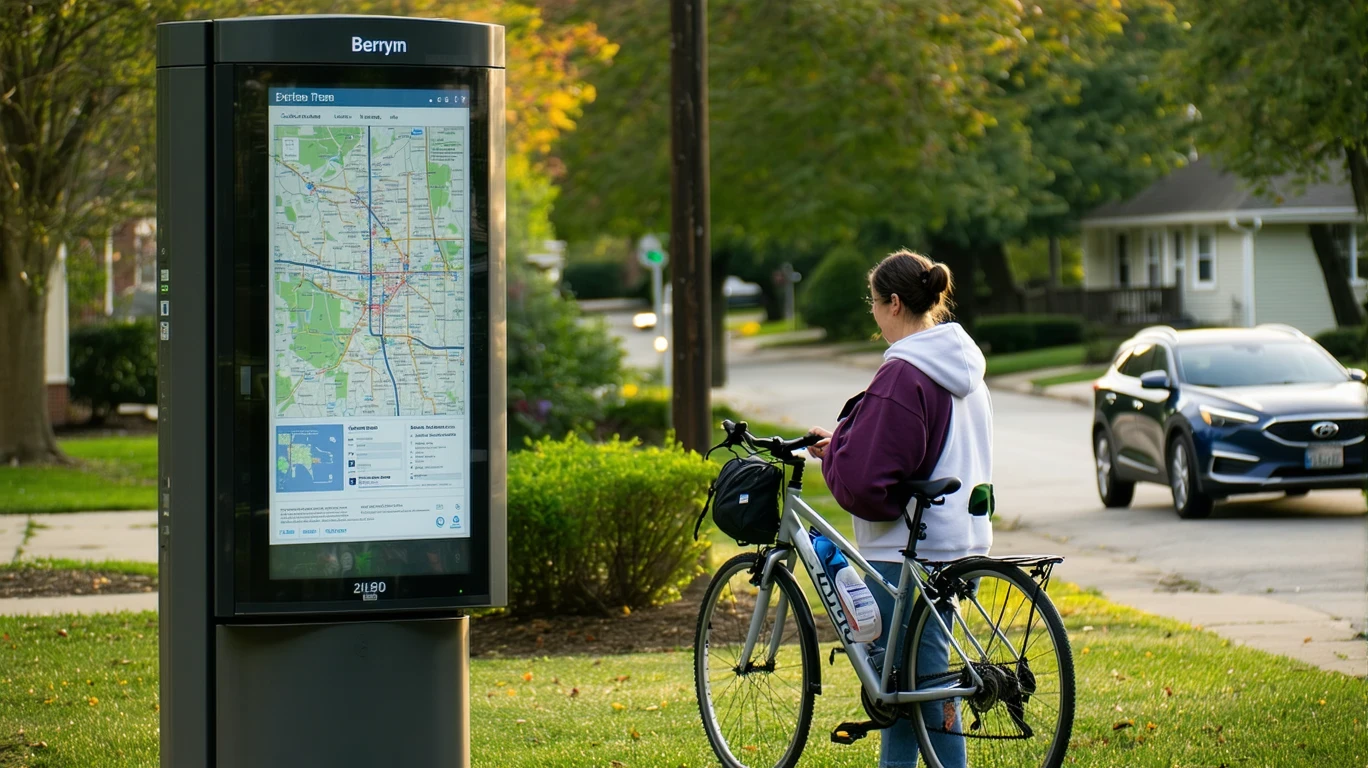
Public Transit Availability in Berwyn
Public transit in Berwyn often centers around systems such as Pace suburban bus service, which provides local routes and connections to nearby transit hubs. Bus stops are present throughout the city, and service tends to be most useful for residents commuting into Chicago or connecting to CTA rail lines in adjacent communities like Oak Park or Cicero. The bus network supports predictable, high-frequency trips during peak hours, but coverage thins out in the evenings and on weekends, when headways stretch and route options narrow.
Transit works best for people whose destinations align with the existing routes—primarily eastbound into the city or to nearby job centers along major corridors. It tends to fall short for residents in the southern or western edges of Berwyn, where bus access exists but requires longer walks to stops and more transfers to reach non-Chicago destinations. Late-night service is limited, which creates friction for shift workers or anyone whose schedule doesn’t fit the traditional 9-to-5 window. The system is functional and reliable for its intended purpose, but it’s not designed to replace a car for households with complex logistics or multi-stop routines.
Driving & Car Dependence Reality
Driving remains the most flexible option for most Berwyn residents, especially those commuting to suburban job centers, managing family schedules, or working non-standard hours. The city’s proximity to major highways—including I-290 and I-55—makes car-based commuting straightforward for regional trips, though rush-hour congestion into and out of Chicago can add significant time. Parking is generally abundant and unmetered in residential areas, which removes one of the friction points common in denser urban settings. Street parking is the norm, and most single-family homes include driveways or garages, reducing the daily hassle of finding a spot.
Car dependence in Berwyn is less about sprawl and more about regional connectivity. The city itself is compact and walkable in its core, but the jobs, services, and family networks that pull people outward—toward the western suburbs, into the city, or across the metro area—don’t align neatly with the bus-only transit grid. For households with two working adults, school-age children, or caregiving responsibilities, driving offers the schedule control and route flexibility that transit can’t match. The tradeoff is fixed cost exposure: insurance, maintenance, and fuel become baseline expenses, and the 52.7% of workers with commutes over 45 minutes are absorbing that cost regularly.
Commuting Patterns & Daily Mobility
Commuting in Berwyn tends to split along geographic and occupational lines. Residents working in Chicago’s Loop or near the CTA Blue Line often rely on a combination of walking, biking, or busing to Oak Park or Forest Park to catch the train. This works well for single-destination, weekday commutes, and it keeps transportation costs lower than full-time driving. But for residents whose jobs are in the western suburbs—Oakbrook, Naperville, or further out—transit becomes impractical, and the commute defaults to driving. The 30-minute average masks this divide: some people are walking ten minutes to a bus stop, while others are spending an hour in traffic each way.
Daily mobility within Berwyn is shaped by the city’s pedestrian infrastructure and the density of food and grocery options. High food and grocery establishment density means that many households can handle routine errands—picking up milk, grabbing lunch, stopping at the pharmacy—without getting in the car. This reduces the frequency of driving for daily needs, even if the car remains essential for work. The presence of parks and water features also supports walkable recreation, which matters for families and retirees who prioritize neighborhood-level mobility over regional transit access.
Who Transit Works For — and Who It Doesn’t
Transit in Berwyn works best for single adults or couples without children who live in the core neighborhoods and commute to predictable, transit-accessible job sites in Chicago. If your routine is stable, your destination is near a CTA line, and your schedule aligns with peak service hours, the bus-plus-train combination is viable and cost-effective. Renters in denser, mixed-use blocks near Cermak Road or Ogden Avenue benefit most from this setup, as they’re within walking distance of both transit stops and daily errands.
Transit becomes much less practical for families managing school drop-offs, after-school activities, and grocery runs, especially if both adults work in different directions. It also doesn’t serve reverse commuters well—people living in Berwyn but working in the western suburbs face long, multi-transfer trips that often take twice as long as driving. Homeowners in the southern or western parts of the city, where bus stops are farther apart and service is less frequent, tend to default to car ownership out of necessity rather than preference. The infrastructure supports transit use, but the structure of daily life for many households requires the flexibility that only driving provides.
Transportation Tradeoffs in Berwyn
The core tradeoff in Berwyn is between local walkability and regional reach. The city’s pedestrian-friendly core and high density of daily services mean you can live without a car for neighborhood-level needs, but leaving Berwyn—for work, for family, for anything beyond the immediate area—requires either a car or a willingness to navigate a bus system that prioritizes Chicago-bound commuters. Transit offers lower fixed costs and eliminates parking hassles, but it locks you into a schedule and limits spontaneity. Driving gives you control and flexibility, but it adds insurance, fuel, and maintenance as non-negotiable monthly expenses.
For households weighing these tradeoffs, the decision often comes down to commute direction and household complexity. If you’re moving to Berwyn to be near Chicago and your job is transit-accessible, the bus-plus-rail option is workable and keeps monthly expenses predictable. If you’re commuting west, managing multiple stops, or supporting a family, car ownership becomes the path of least resistance. The city’s layout doesn’t force one choice or the other, but it rewards proximity to the core and penalizes distance from transit hubs.
FAQs About Transportation in Berwyn (2026)
Is public transit usable for daily commuting in Berwyn?
Yes, if your commute is into Chicago and your schedule aligns with peak service hours. Bus routes connect to CTA rail lines in neighboring communities, making transit viable for Loop-bound commuters. For suburban job centers or non-standard hours, transit becomes less practical, and most residents default to driving.
Do most people in Berwyn rely on a car?
Most households own at least one car, especially those with long commutes or family obligations. The 52.7% of workers with commutes over 45 minutes signals that car dependence is common, even though the city’s core neighborhoods support car-free living for daily errands.
Which areas of Berwyn are easiest to live in without a car?
The core neighborhoods near Cermak Road and Ogden Avenue offer the best combination of walkability, transit access, and daily services. Residents in these areas can handle groceries, errands, and local trips on foot, and they’re within reasonable walking distance of bus stops that connect to regional transit.
How does commuting in Berwyn compare to nearby cities?
Berwyn’s 30-minute average commute is typical for first-ring suburbs, but the high percentage of long commutes suggests that many residents are traveling farther than the city’s proximity to Chicago might imply. Compared to Oak Park, which has direct CTA rail access, Berwyn requires an extra step—busing to a train station—which adds time and complexity. Compared to more distant suburbs, Berwyn offers better walkability and shorter drives into the city, but less direct highway access for westbound commutes.
Can you get by without a car in Berwyn?
It’s possible, but it depends heavily on where you live and where you work. Core-neighborhood residents with Chicago-based jobs can manage without a car by combining walking, biking, and bus service. For everyone else—especially families, reverse commuters, or anyone with irregular schedules—car ownership becomes the practical default.
How Transportation Fits Into the Cost of Living in Berwyn
Transportation in Berwyn isn’t just a line item—it’s a structural factor that shapes where you can live, how much time you spend commuting, and how much flexibility you have in daily life. The city’s walkable core and bus access lower the barrier to car-free living for some households, but the lack of rail transit within city limits and the high percentage of long commutes mean that most residents absorb the fixed costs of car ownership. Gas prices at $2.98 per gallon are manageable but not trivial for daily drivers, and the time cost of a 30-minute average commute—or longer—adds friction that affects work-life balance and household logistics.
For newcomers weighing housing options, transportation should factor into the decision early. Living near the core neighborhoods reduces reliance on driving for errands and shortens the distance to transit connections, which can offset slightly higher rent or home prices. Living farther out lowers housing costs but increases transportation exposure, both in dollars and in time. The tradeoff isn’t always obvious until you’ve lived it, but it’s one of the clearest ways that geography and infrastructure shape the real cost of living in Berwyn. If you’re planning a move, start by mapping your commute and your daily routine—those patterns will determine whether Berwyn’s transportation structure works for you or against you.
How this article was built: In addition to public economic data, this article incorporates location-based experiential signals derived from anonymized geographic patterns—such as access density, walkability, and land-use mix—to reflect how day-to-day living actually feels in Berwyn, IL.